Day One
The Southern Ranges and their holy grail, Precipitous Bluff, have loomed large in my consciousness since habitually poring over John Chapman’s first edition of South West Tasmania when I was a child. Being at the other end of Tasmania from my home town of Burnie made it an elusive goal. The thought of wading down a lagoon for hours on end just added to the intrigue. Few southern destinations featured in my pre-parenthood jaunts – Federation Peak in my early 20s was the only major exception.
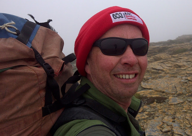
Bright and early on a crisp morning in November 2011 I headed south from the North-West Coast. The sun rose as I descended from the Central Plateau on the Highland Lakes Road and, eventually, I arrived at the Lune River trail head. Before shouldering my pack I headed up the road to look at Benders Limestone Quarry which had been in the news so many times. The Hawke Labor federal government repeatedly lost patience with the reluctance of successive Tasmanian governments to enact the closure of the mine to protect the World Heritage listed Exit Cave. As I perused the encroaching vegetation I realised 20 years had passed since those news stories which seemed so recent.
With my pack on board I headed along the track which, initially, follows an old railway formation. Several gullies are crossed with the land generally sloping downhill from left to right (south to north) where the slopes of Marble Hill give way to the Lune Plains below. Much to my surprise I arrived at Mystery Creek which was flowing from right to left! A side-trip from another old quarry led to the explanation for Mystery Creek’s incongruous path towards the hill.

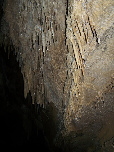
At the foot of a limestone cliff Mystery Creek flows directly into the base of Marble Hill. It is easy to follow the creek into the first chamber of Mystery Creek Cave where only a short walk is needed to go beyond all evidence of natural light. Navigation through the large cavern is easy with the stream at normal flow. After a short scramble a narrow gap is reached where a muddy tide-mark well above my head shows why this is not the place to venture in wet weather. Just beyond the gap the stream drops into unseen tunnels below while side tunnels head away left, right and straight ahead – a great place to turn around and head to the surface without the risk of being directionally challenged in a dangerous place.
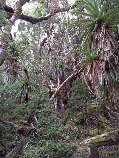
Beyond the quarry the track gained height rapidly through tall eucalypt forest. A brief respite from the steep gradient ushered in myrtles and another climb which in turn gave way to tea tree just before reaching Moonlight Flats. Almost half of the day’s climbing is in the bag at this point. Low, dense scrub obscuring the heavily braided track made for slow progress past Bullfrog Tarns but clear, blue skies and views to a snow-encircled Mount La Perouse egged me on.
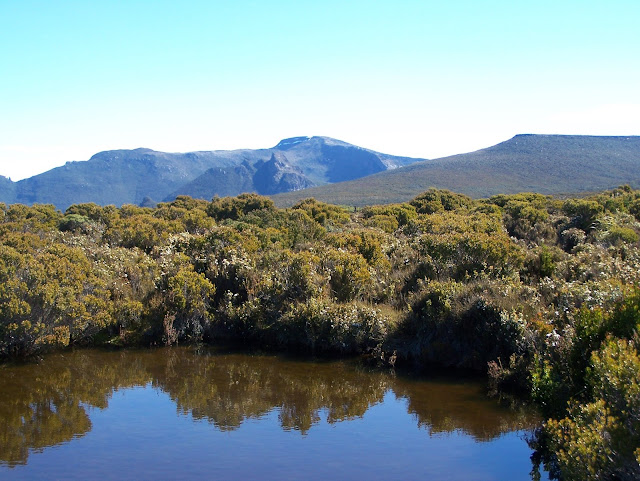
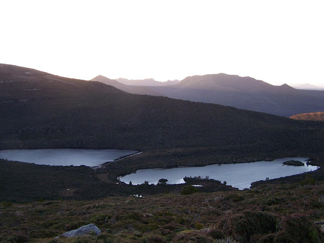
After the Flats, Moonlight Ridge is made up of four distinct Hills each with its own unique character. After approaching from the east, Hill One is sidled on it’s north and west flanks just above a small cliff-line. Hill Two has it’s appropriately named eastern extention, Tabletop. Hill Three features Agnetes Garden atop a narrow ridge leading out to The Hippo on one side and on the other, the narrow Moores Bridge is a classic glacial circque separating Lune River from the upper tributaries of the Picton. Hill Four overlooks Reservoir Lakes, Pigsty Ponds and the upper reaches of the D’Entrecasteaux River which would be my accommodation for the next two nights.

Day Two
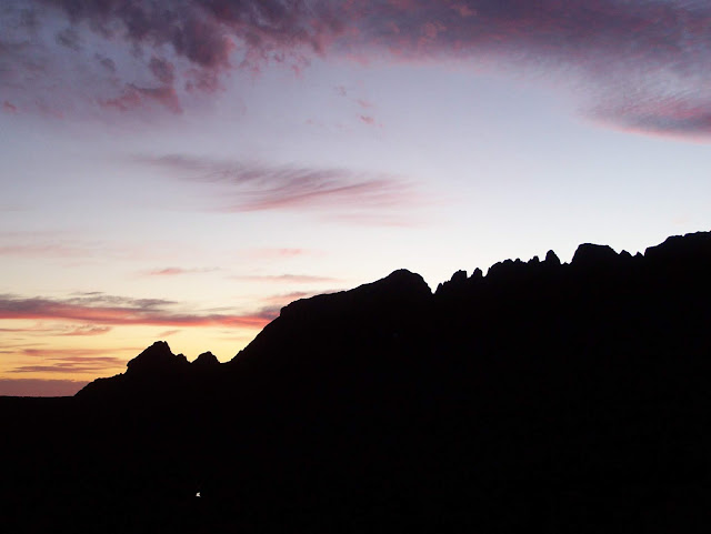
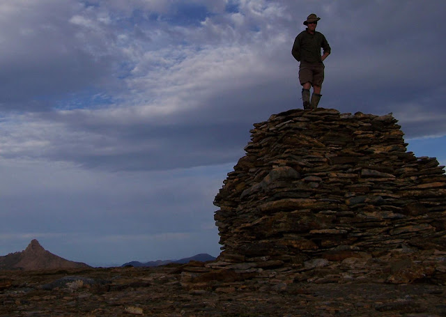
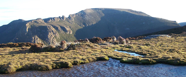
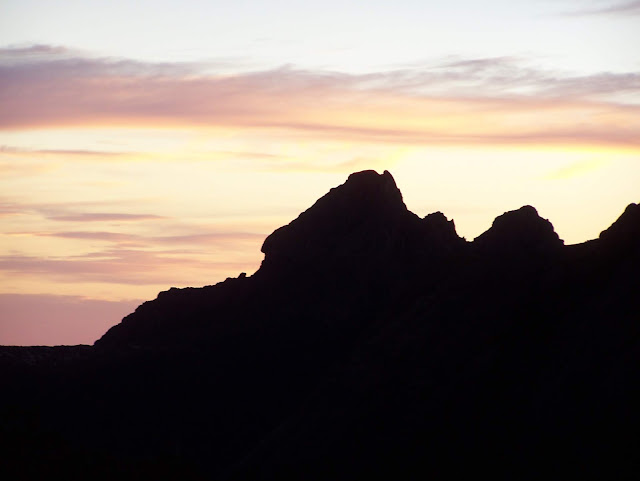
After being treated to an amazing sunrise over the Hippo and Cockscomb I headed off with a light pack for some peak bagging. By 7am I was admiring the spectacular summit cairn atop Mount La Perouse. Clear conditions and the broad, scrub-free summit encouraged me to take a circuitous route back to the main track.
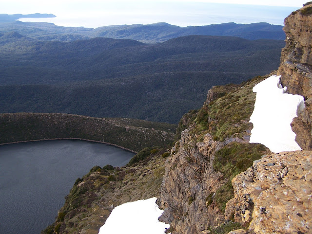
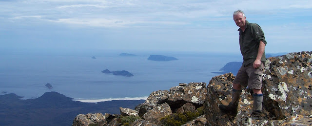
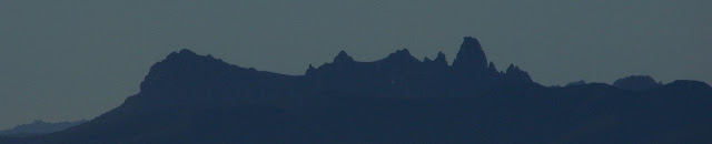
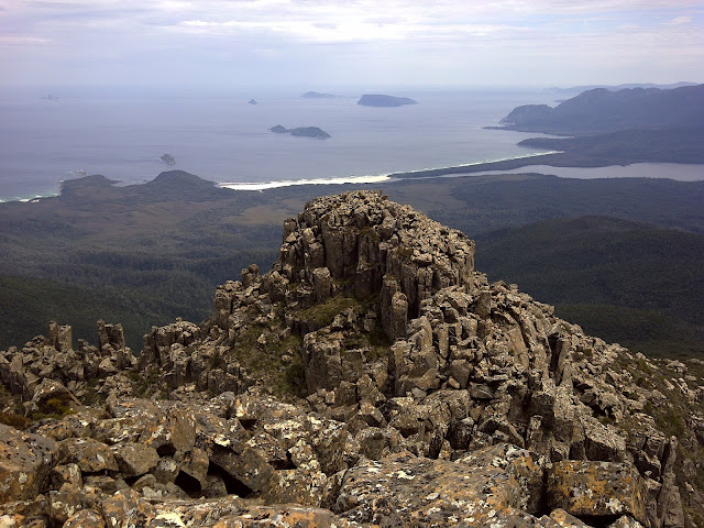
A short walk east led to the plateau-edge for a bird’s-eye view of Swallows Nest Lakes and Tasmania’s southern-most tip, South East Cape, piercing the shimmering waters of the Southern Ocean. Next I headed north along the snow drifts where views of Southport Lagoon and Bruny Island accompanied me until I reached a ridge overlooking The Cockscomb. The line of turrets echoes common features found on many of Tasmania’s better-known dolerite peaks.
Once back at the original climbing route I headed down to the saddle, over Maxwell Ridge, through a small patch of forest below Knife Mountain and on to Ooze Lake. From there Lake Mountain is skirted to reach the Pindars massif itself. North facing slopes are soon left behind in favour of south eastern slopes with views out to the lakes feeding South Cape Rivulet. Just before the final, short ridge-climb to the summit a ‘track’ descends northwards towards exotic destinations like Pandani Knob, Leaning Tea Tree Saddle and, ultimately, Precipitous Bluff – inspiration for a future walk but not something that would fit on this particular long weekend.
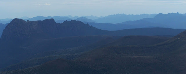
On the summit of Pindars fine weather heralded superb views to New River Lagoon, off-shore islands including the Matsuuyker Group and the long expanse of sand at Prion Beach. To the north-west PB loomed large over the upper reaches of the lagoon while the White Monoliths, Eastern and Western Arthurs and other mountain ranges stretched to the horizon beyond. After leaving Pindars the fine weather persisted so I followed the delightfully scrub-free ridgeline over Lake and Knife Mountains, rejoining my outward route and returning to my D’Entrecasteaux River campsite.
Day Three
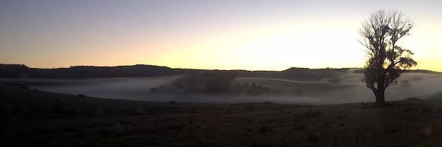
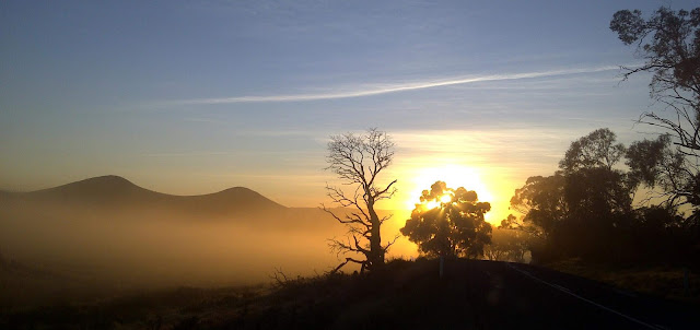
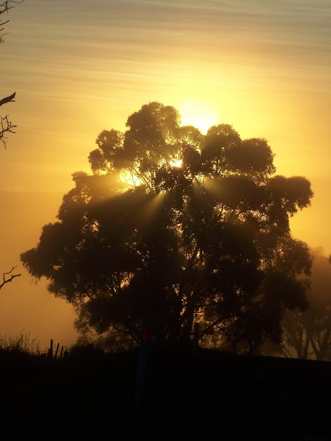
Another gorgeous sunrise watched over my breakky inspiring an early adventure before heading home. Arndell Falls are only a kilometre down the river from the track crossing. The valley looked relatively scrub free – what could possibly go wrong?
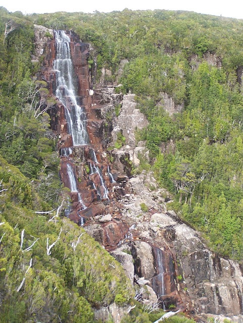
In a matter of minutes I was standing at the top of the falls but, as keen waterfall baggers can attest, I wanted that sought after, front-on pic. Some rocks protruding from the south side of the valley seemed like the perfect vantage – they were only 50 metres away. Well…
That 50 metres proved to be quite an ordeal. First it was the scrub. There were places the scrub was so thick I could barely get my fingers into the thick-woven mat let alone any other part of me. After 20 minutes of thrashing the rocks appeared barely 5 metres away but…
I was now faced with a narrow chasm 30 metres deep and barely 3 metres wide with no view of the falls. I refused to let this defeat me so a few more minutes of scrub wrestling delivered me to a point where I could descend into the depths and scramble up the other side. My rocky outcrop did indeed give a better view of the falls but the relatively low flow made me wonder whether it had been worth the effort.
Half an hour later I re-emerged from the scrub, back at the top of the falls, and wandered down the much-less-scrubby northern side of the valley until I could see the falls again. Sure enough, the angle of the falls made them obscured by scrub when viewed from this direction – my mission had been worthwhile!
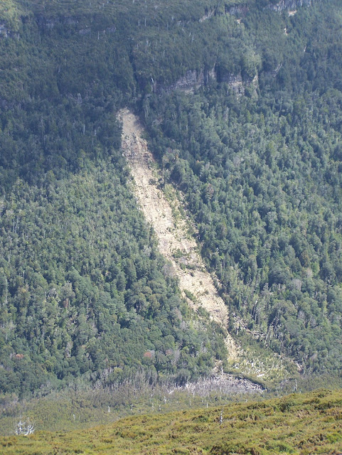
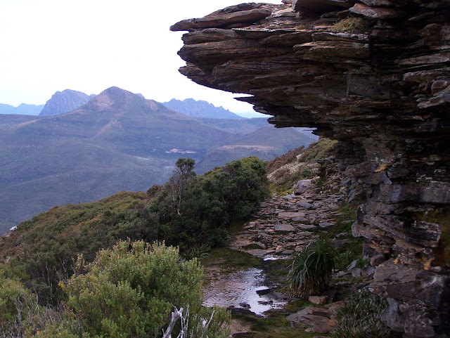
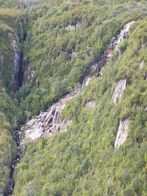
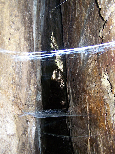
As I retraced my steps over Hills Four, Three, Two and One then back down to the car a few things caught my attention. Firstly, the view of Arndell Falls from Hill Four was quite distracting – was my scrubby mission worthwhile after all? Secondly, there’s a ripper landslide below Hill One where the steep, glacially carved valley has collapsed sending enough rubble into the Lune River to create a temporary dam which must have filled enough at some stage to kill the trees upstream. My final distraction on the way out was a narrow slot cave in the forest just as the track starts its final descent into the eucalypts above Mystery Creek – I suspect this is the uppermost karst feature in the area.
On the long (5-hours – that’s long by Tassie standards), late evening drive home I contemplated my next adventure in the area hoping that one day I would have the opportunity of making it to PB.