
Posted inBushwalking
Horizontal, Manfred, Cuvier & Goulds – Part One
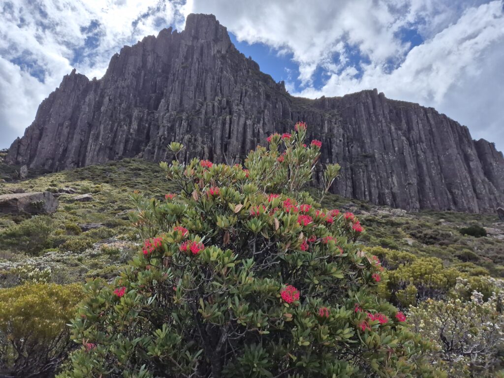
Dolerite cliffs of Mount Manfred with waratahs flowering below Five days off in January - what a treat! While Kylie was focused on her Overland Track with side trips speed mission (There’s a story for another day!), I set my sights on some Abel adventuring. Over the past year I’ve had the opportunity to skipper the little ferry (Ida…