Last week, I drove to Mount Barrow while I was showing a corporate guest around a rainy and gloomy Tamar Valley. The only walking that the weather and our equipment permitted was a quick lap of the nature trail at the picnic area immediately below the mountain.
We drove to the car park at the top of the road and observed the driving rain and howling gale from inside the car before wending our way back down through the dozen or so hairpin bends. The picnic shelter and hang gliding launch ramp were just visible through the mist.
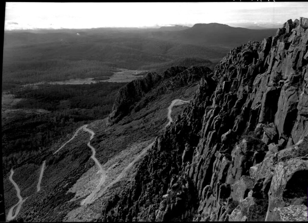
Previous visits to Mount Barrow have not been so bleak. On several occasions, I have climbed the steps from the car park to the buildings and transmission towers perched on the summit ridge. From here it is a short rock hop along the cliff tops to the summit.
The short ridgeline traverse is a great introduction to the decaying dolerite caps that adorn so many of Tasmania’s highest peaks. Ice and snow in winter add to the fun and care must be taken to avoid the north facing cliffs that plunge away close at hand.
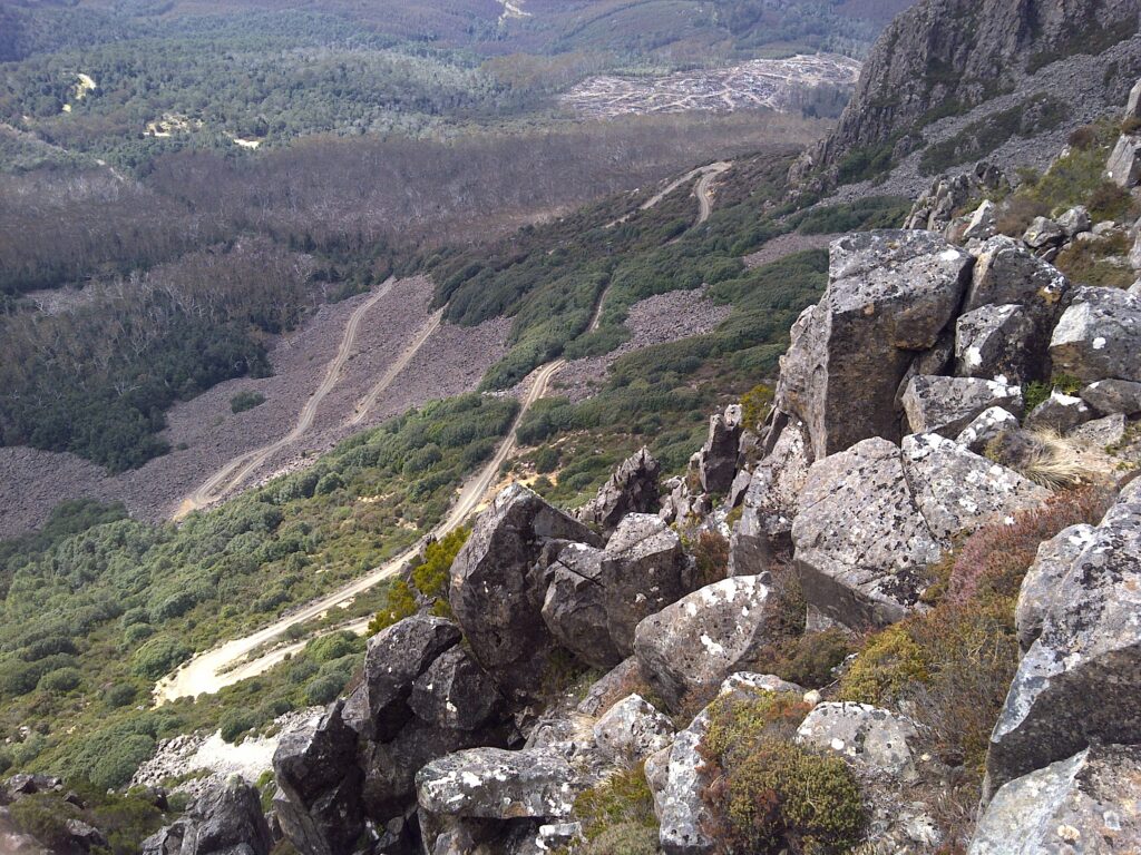
Clear weather offers uninterrupted views in every direction. Farmland and forestry operations dominate the middle distance with Launceston and the Tamar valley a little further away. On the horizon, the long, dark line of the Great Western Tiers leads the eye away to the distant Black Bluff and Mount Roland. Bass Strait is visible as are the numerous peaks of the northeast with the Ben Lomond massif brooding beyond the communications tower on South Barrow.
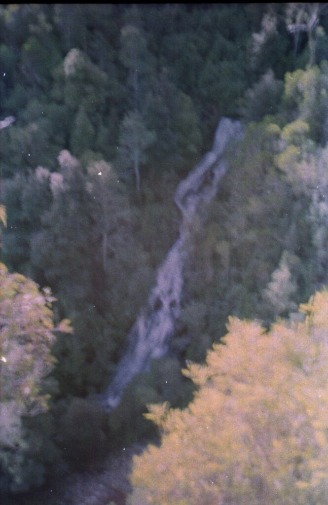
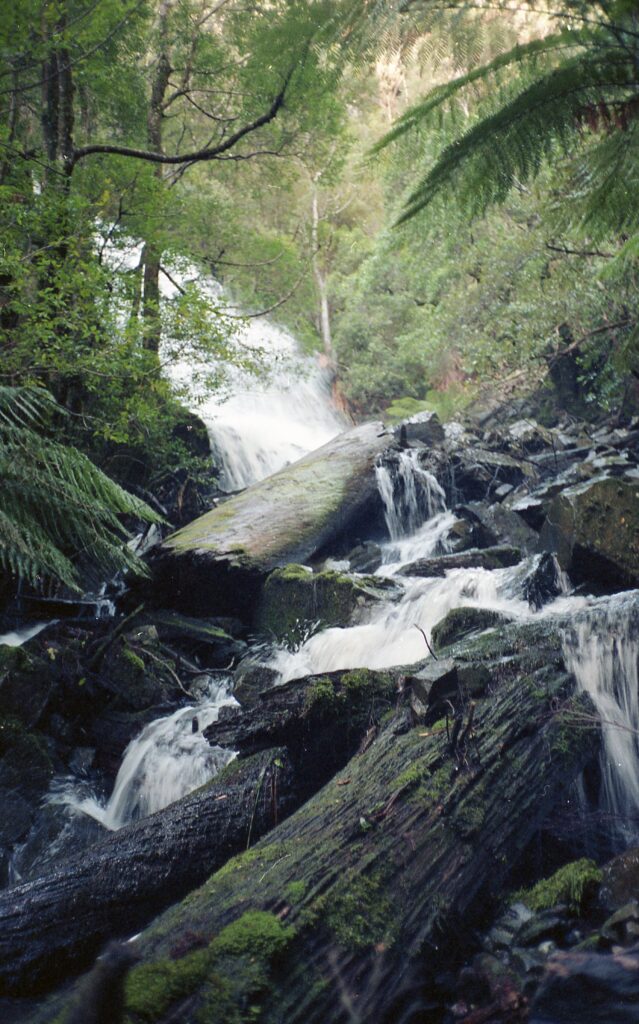
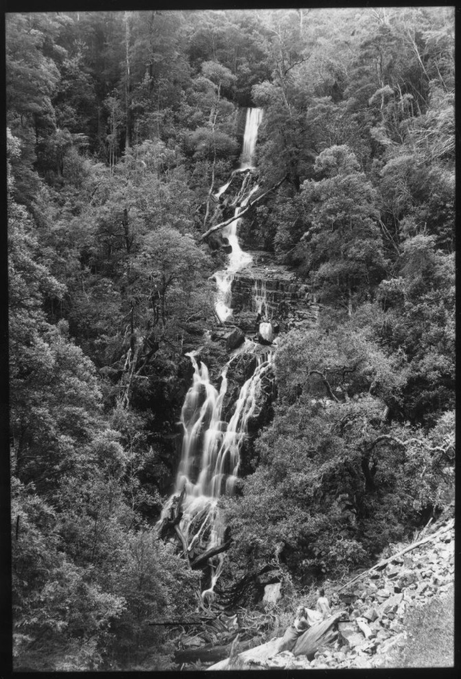
Below Mount Barrow are the Mount Barrow Falls. When I visited 14 years ago, this sizeable fall had no track to it. I accessed the falls via State Forest to the north as part of a mountain bike ride from Launceston.
I have since found the Mount Barrow Road runs through part of the Mount Barrow Falls State Reserve. This is well downstream from the falls so I am not sure whether a good access route exists from this direction. There’s room for more exploring another day!
I have not managed to get any Barrow pics organised. While I had hoped to use my own photos, a quick search on the Internet found a couple of photos that beat anything I have to offer hands down…
I now know the National Library of Australia have a good collection of historic photos available on-line. Among these are photos of… you guessed it… Mount Barrow and Mount Barrow Falls.
Do the photographers’ names ring a bell? Hurley is best known for accompanying Sir Ernest Shackleton on his infamous expedition to Antarctica and the amazing Southern Ocean rescue that followed. I am not so familiar with Spurling’s work. There is a Mount Spurling just west of the Mountains of Jupiter on Tasmania’s Central Plateau. I guess this was named after him?
2026 Edit…
I’ve been back to my photos from 1992 and found why I didn’t post them. The distant shot of the whole waterfall is badly blury but it shows how I must have been on almost exactly the same spot as Stephen Spurling. My photos of the base of the falls are much more in focus.